


If you're looking to create an interactive map of a country, follow these steps:
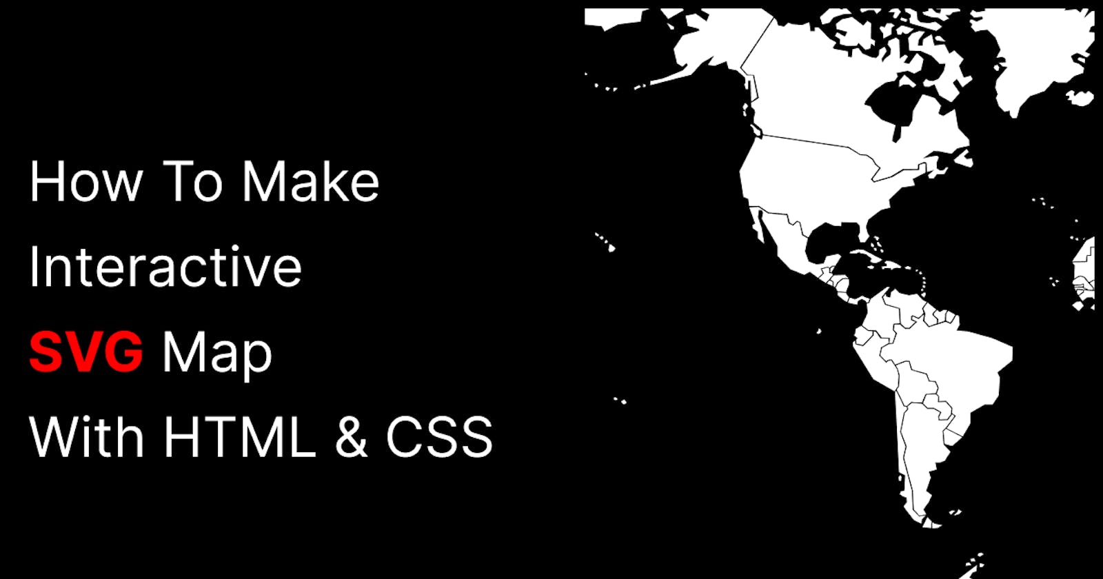
Obtain an SVG map of the country: You can download one from websites like Wikipedia. If you can't find the exact SVG you need, consider asking a designer friend or using design software like Adobe Illustrator, Inkscape, or Figma to create one.
Add the SVG to your HTML file: Nest the SVG into a section/div in your HTML file and give each path an ID to make it easy to select. Use CSS to change the background, border color, and width of each path. You can also use the hover property to make each path change color when hovered over.
Add interactivity: Loop through the paths and add an event listener. Then, on clicking each state, you can change the data in the form. Customize the CSS and JavaScript as needed.
Enhance your map: Consider adding additional features such as tooltips or popups to provide more information about each state.
Here's a short demo of what the finished map could look like: